FAQ
How do pros use the maps to find fish?
Check out BONUS CHEAT SHEET # 12: 40 Deadliest, 20 Lures and 20 Deadliest Flies which have been rated as the best by thousands of anglers. The real secret is in knowing when and where to use them. We tell you where on the maps it would be best to fish the lure or fly. Refer to the included Master Map Tactic Table. If it didn’t work for you in the past, you may have been fishing it in the wrong place.
Why do I need a Stream & Lake Map if I already know where I like to fish?
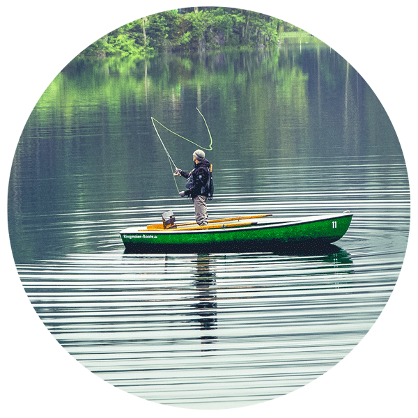
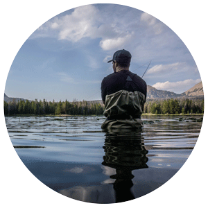
Did you know that 90% of fishermen fish in the exact same places? That means you are likely fishing in overfished waters where the biggest catches have already been taken. Only 5% of fishing water is considered prime. Our maps guide you away from the crowds and straight to the hidden, secret spots where the trophy fish are actually hiding.
What makes Professor Higbee's maps different from standard topographic maps?
Professor Howard Higbee spent three decades meticulously hand-drawing these maps, reducing large topographic maps and aerial photographs under high magnification to capture every single stream, river, and lake. Standard maps often make water difficult to see, but we’ve made blue the brightest color on our maps so the waterways stand out as the primary feature. It is the most complete and detailed record of waterways available.
How can the "Explorer's Guide to Hidden Streams & Lakes" bonus help me?
This valuable guide is included with your map and helps you pinpoint the absolute best fishing spots in your state. For example, in Pennsylvania, it helps you easily locate over 900 productive trout streams and 300 lakes, including bass waters, class “A” limestone streams, and trophy fish waters. It takes the guesswork out of planning your next trip.
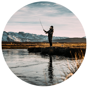
I want to catch a record-breaking fish. Can this map help?
Absolutely. The average trophy fish has evaded capture for over 10 years because they hide in places most anglers never look. Included with your map is the bonus guide "How Anglers Stalk & Catch Record Fish," which teaches you the unique habits of monster fish and the special times their guard is down. Combine that knowledge with our highly detailed maps, and you'll know exactly where to stalk them.
Are these maps good for planning a weekend fishing trip?
They are the ultimate trip-planning tool! You can use the map to explore new regions of your state, find interconnected waterways, and locate secluded lakes. If you purchase the laminated version, you can even use
a dry-erase marker to trace your route, circle your target spots, and wipe it clean when the trip is over.
What is the "Finding Secret Fishing Spots" bonus?
This is a highly sought-after guide included with your map purchase. It contains 47 specific tips, tactics, and tools you can use to find your own secret fishing holes. When you apply these tactics to the vivid details on Professor Higbee's maps, you will uncover pristine waters that other anglers drive right past.
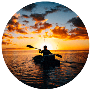
Can I use the map to find waters suitable for kayaking or canoeing?
Yes! Because our maps show virtually every stream, river, and lake, paddlers love them just as much as anglers. You can easily trace the flow of rivers, identify watershed boundaries, and find new, unexplored waters for your next float trip.
Why should I choose the Laminated (Rolled) map over the Paper (Folded) map?
About 82% of our customers choose the laminated map because it is guaranteed to last a lifetime. It features heavy-duty 3 mil. UV-protective lamination on both sides, allowing you to write on it with a dry-erase marker.
It also includes brass eyelets for easy hanging. Most customers don't realize how beautiful the maps look until they hang them on the wall—they truly are a piece of art.
Do the maps show back roads to help me access the streams?
Yes, major and secondary roads are included, but they are printed in a lighter color so that the blue water remains the star of the map. If you need extreme road detail, we also offer close-up maps and back-road atlases that work perfectly in combination with your Stream & Lake Map.
What if I buy the map and realize it's not what I expected?
We offer a 90-day, no-questions-asked guarantee. You don't have to decide right now. Simply place your order, take a full 90 days to explore the map and read through all the bonus materials. If you aren't completely satisfied and catching more fish, just return it for a prompt refund.
How do the maps help me save time and money?
There is nothing worse than spending money on gas, gear, and bait, only to spend your whole weekend at a fished-out stream and come home empty-handed. By guiding you directly to the 5% of prime fishing waters,
our maps ensure that every trip is productive, saving you from wasted weekends.
Are these maps suitable as a gift for an avid fisherman?
They are the perfect gift! Anglers are notoriously hard to shop for, but a Professor Higbee map is something
they will use and cherish forever. Whether they hang the beautiful laminated version in their office or keep the folded version in their tackle box, it’s a gift that helps them do what they love: catch more fish.
What are the green lines on the map?
Those are watershed boundaries. It helps to think of the tops of mountains and hills as forming the borders of large basins. All the water that falls within a boundary will eventually end up in the same place. Understanding watersheds is a great way to track how streams connect and where fish might migrate.
Can I get my company's logo printed on the map?
Yes! We offer customized maps printed in full color with your logo or business information. This service is completely FREE if you order 10 or more maps. They make incredible corporate gifts for clients, who will see your message hanging on their wall every single day.
Do you offer discounts for conservation groups or fundraisers?
We certainly do. Professor Higbee's maps make fantastic fundraisers for local watershed and conservation groups. We offer special non-profit and volume pricing for quantity orders. Please contact us for a custom
price quote.
How accurate are the streams on the map?
Incredibly accurate. Professor Higbee modified his car's odometer to measure miles in 500ths just to check distances while creating the original map. While we update the maps every two to three years to reflect name changes or new man-made lakes, the natural flow of the streams remains as accurate today as when Higbee first drew them.
What is the Limestone Stream Map?
The Limestone Stream Map is a specialized product that highlights the highly productive, nutrient-rich limestone streams. These waters are famous for producing massive, healthy trout. If you are a serious fly fisherman looking for the best trout waters, this map is an essential companion to the standard Stream & Lake Map.
How quickly will I receive my bonus materials?
When you order your map, the three bonus guides—"Explorer's Guide to Hidden Streams & Lakes," "Finding Secret Fishing Spots," and "How Anglers Stalk & Catch Record Fish"—are available immediately as PDF downloads. You can start reading and planning your strategy before your physical map even arrives in the mail!
Why is it called the "Lost" Stream Map?
After Professor Higbee spent 30 years creating the map, the original drawing and printing plates were lost for decades. It wasn't until 1989 that Larry Seaman and Karl Ings tracked down the original materials and brought this masterpiece back to life. Today, we are the exclusive publishers of this incredible piece of cartographic and fishing history.