Montana Map
The first and only highly detailed map of its kind. Showing virtually all of the 176,750 miles of rivers and streams plus more than 1,000 lakes.
Options:
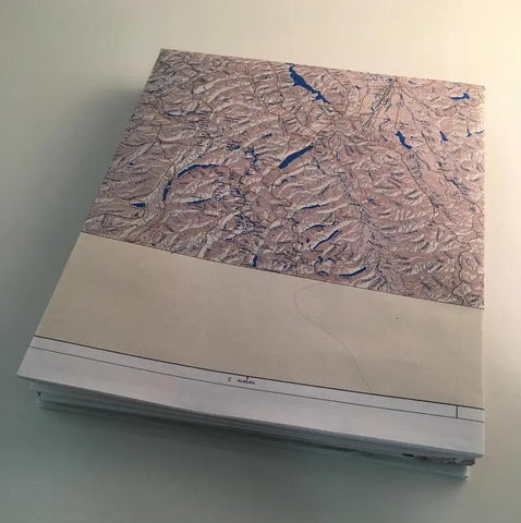
Paper (Folded)
The 40-inch-by-65.75-inch map paper folded to 8 X 10 inches and placed in a protective pouch. Includes BONUS #1, BONUS #2 and BONUS #3.
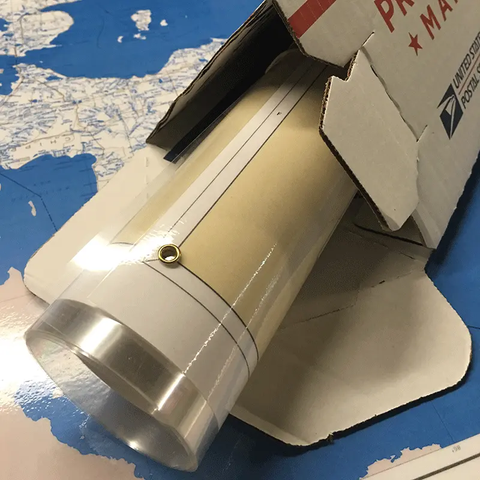
Laminated (Rolled)
The 40-inch-by-65.75-inch map laminated in crystal clear UV protection, heavy duty 3 mil. lamination on both sides. You can write-on and wipe-off the laminated surface when you use a dry erase marker. Now you can highlight your favorite streams and lakes and mark upcoming fishing trips. This laminated map has brass eyelets in the corners for easy hanging. The laminated map is guaranteed to last a lifetime. Ships rolled in a sturdy container. Includes BONUS #1, BONUS #2 and BONUS #3.
PDF Downloadable Bonuses:
#1 Finding Secret Fishing Spots
#2 How Anglers Stalk & Catch Record Fish


